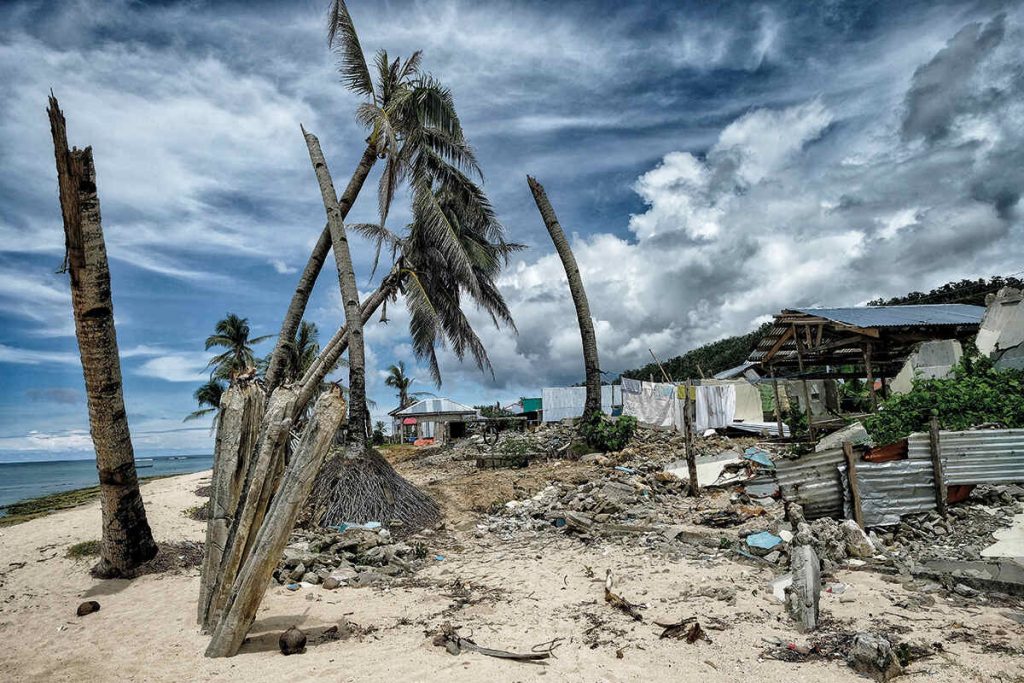
The low-pressure system that was projected to strike Limpopo, Mpumalanga, and KwaZulu-Natal provinces this week has been upgraded to a moderate tropical storm named Filipo.
On Monday afternoon, Météo-France meteorological service stated that Filipo should continue its regular intensification and reach the threshold of a strong tropical storm by the end of the day, before landing on the coast of Mozambique between the extreme south of Sofala province and the north of Inhambane province.
A significant deterioration in weather (strong and locally destructive winds, heavy rain) and sea conditions was therefore expected in the southern provinces of Mozambique. These conditions could persist there until Wednesday before the system moves away on Thursday over the ocean off the south-east of the country.
Earlier, the South African Weather Service (Saws) said moderate tropical storm Filipo was nearing the coast of southern Mozambique and was expected to affect extreme north-east South Africa.
Saws said that as predicted on Sunday, the weak, embryonic tropical low-pressure system located between Madagascar and mainland southern Africa (Mozambique Channel) experienced significant intensification overnight, attaining a “Moderate Tropical Storm” status, associated with average winds of 63 to 89 km/h. Consequently, it has now been elevated to a “named” system: Moderate Tropical Storm “Filipo”.
“The storm is expected to affect mostly the southern parts of Mozambique, but some of its effects will also be felt over the extreme north-eastern parts of South Africa.”
Saws said a tropical low-pressure system can be defined as a less dense air mass that is usually wetter and warmer than the surrounding air. Such a system can cause the formation of clouds and storms.
Saws said that on Monday, 8am South African Standard Time, Filipo was positioned just seawards off the southern Mozambican coastline, moving westwards at a modest rate of 11 km/h.
“As the system moves closer to the coastline south of Beira, the potentially hazardous phenomenon of storm surge will become more likely.”
Saws said recent modelling estimates by the Regional Specialised Meteorological Centre in La Reunion suggest that storm surge is likely to elevate local sea level by as much as 50cm, especially along the coastline from Beira southwards to Vilankulos.
It was estimated that Filipo would make landfall on Monday evening on the Mozambican coast at or near Inhassoro, north of Vilankulos, having further intensified to a “Severe Tropical Storm”, associated with winds between 89 and 118km/h.
“Therefore, for much of the southern Mozambican coastline, a high risk exists for weather-related damage from a combination of torrential rain, strong, damaging winds (with gusts well more than 100km/h) as well as storm surges near the coastline,” Saws said.
It explained that in the predicted rainfall of the Unified Model numerical weather prediction (NWP) output fields, there is a high risk for heavy to torrential rain, of the order of 100 to 300mm a day (potentially an accumulation of 600mm or more over two days) to occur over southern Mozambique on Monday, recurring on Tuesday as well as Wednesday, as the system moves briskly southward.
Saws also said that for South Africa in particular, various sources of deterministic NWP modelling have provided high confidence guidance to suggest that the bulk of the heavy rain, at least for Monday and Tuesday, will remain constrained to southern Mozambique.
“Notwithstanding this, there is a moderate to high risk of heavy rainfall occurring over the lowveld regions of Limpopo on Tuesday and over the lowveld of Mpumalanga on Wednesday,” Saws said.
“For Mpumalanga especially, there is a risk of orographically-enhanced rainfall occurring along the eastern escarpment region on Wednesday, when heavy rain and localised flooding may occur over the southern Lowveld (including the Kruger National Park), the neighbouring Kingdom of eSwatini as well as extreme north-eastern KwaZulu-Natal.
“Major rivers of the central and southern half of the Kruger National Park (KNP), such as the Olifants, Letaba, Sabie and Sand rivers as well as the Crocodile river in the extreme south of KNP are likely to be flowing very strongly, possibly in flood, from midweek onwards.
“Similarly, the north-eastern extremity of KZN, especially the coast and adjacent interior northwards of Richards Bay, can expect a spell of sustained, extremely heavy rainfall on Wednesday. The heavy rain will cease abruptly by Thursday, as the system leaves southern Africa and moves off into the southern Indian Ocean, east of South Africa,” Saws said.

